This article by Adina Rosen originally appeared on Goodnet.
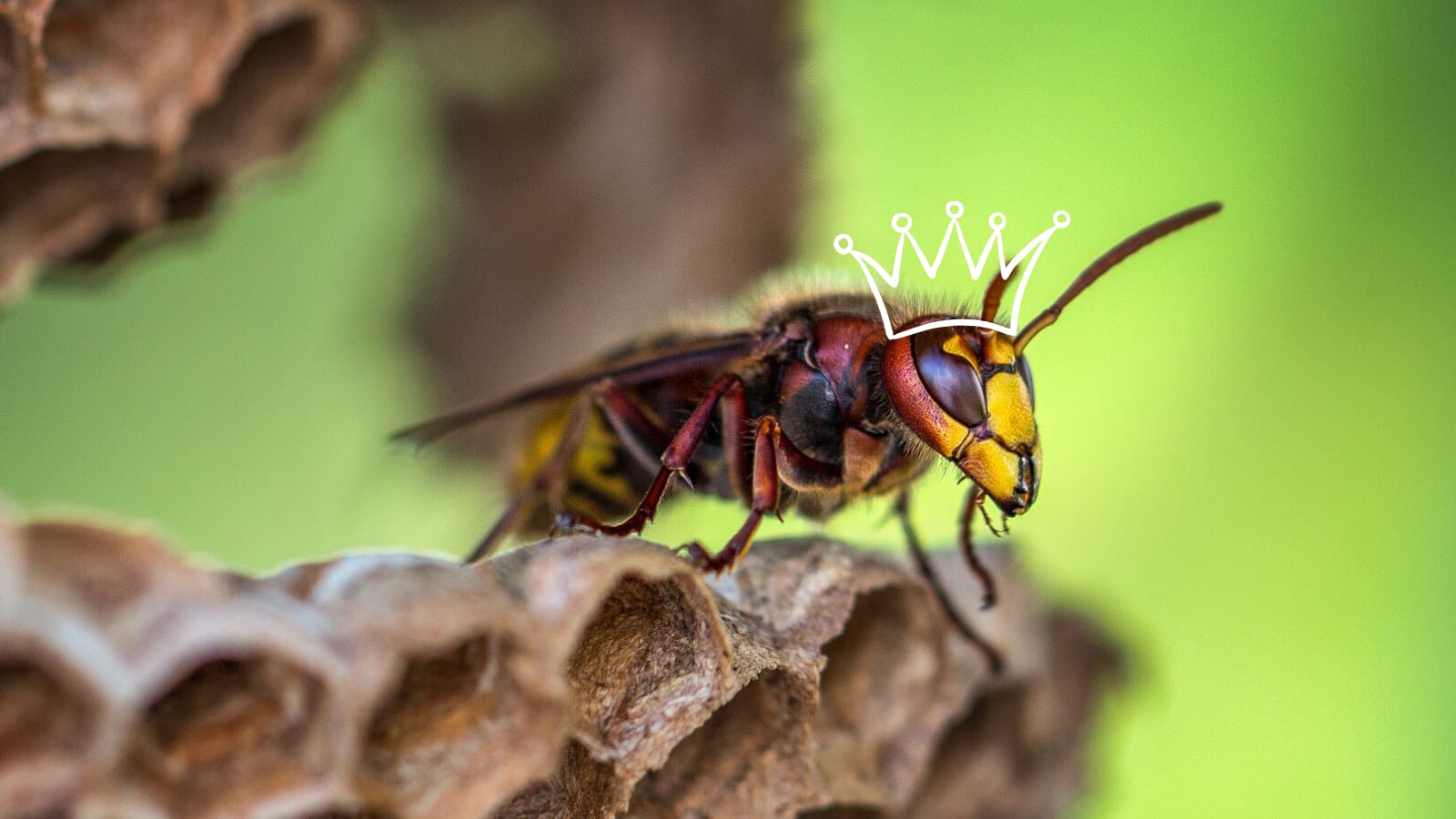
Ten percent of the world’s species live in the Amazon rainforest, according to Popular Mechanics, including some of the most interesting and unique creatures on Earth. Not only that, but some Amazon native species directly benefit humans. If you like chocolate, vanilla, and coffee, you’ve benefited from Amazonian plants.
Even more importantly, the Amazon rainforest keeps our air clean and breathable. Through photosynthesis, the Amazon’s vibrant flora cleanse the carbon dioxide from the air, outputting six percent of the world’s oxygen.
Cognizant of its tremendous impact on the planet, activists are working to halt deforestation. A new algorithm that predicts which areas are at most risk of habitat destruction gives Amazon defenders a hand in their fight against deforestation.
Risky roads
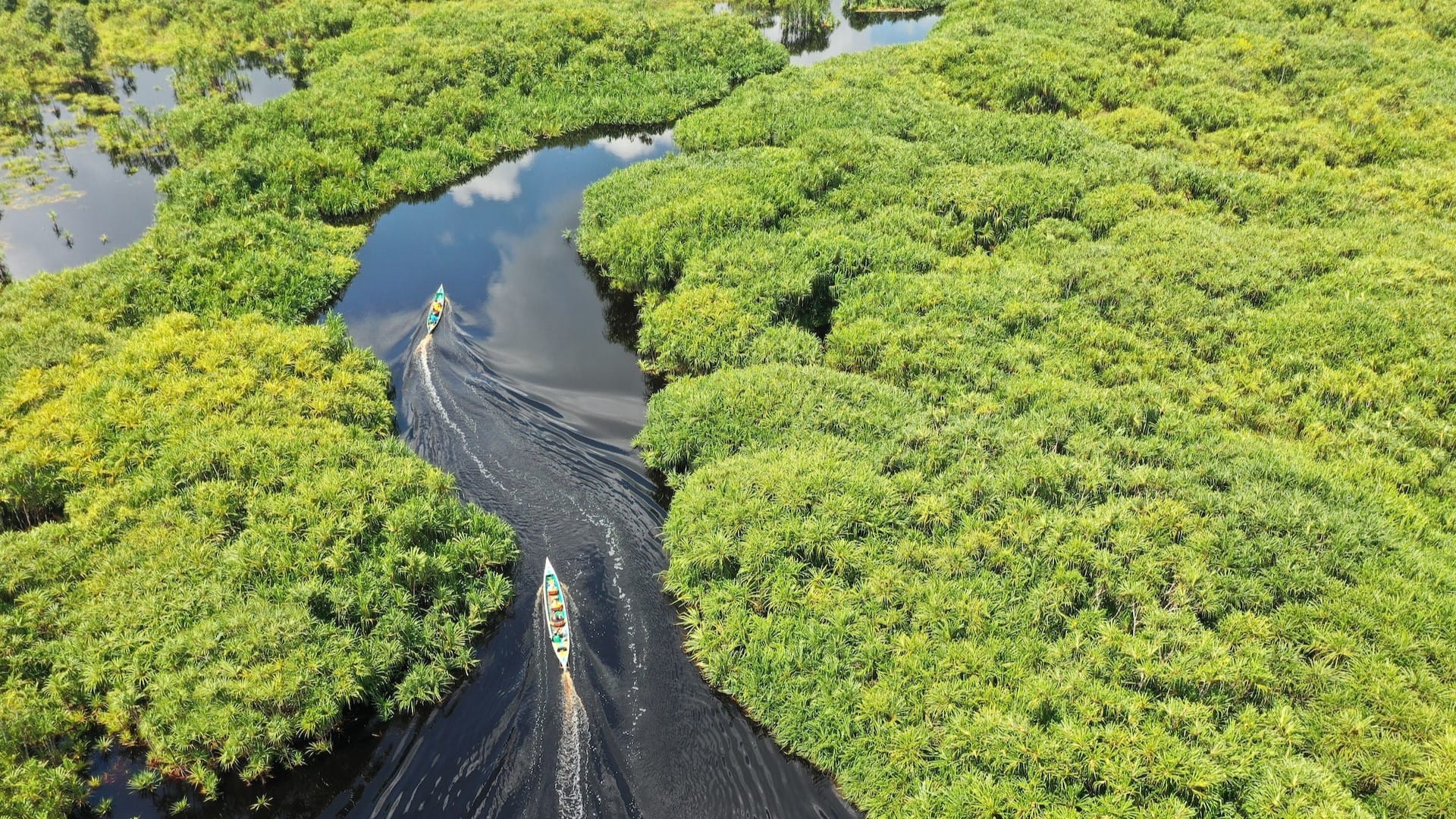
Mongabay explains, the Trans-Amazonian highway is a road that stretches across the Amazon rainforest. Branching off of this official highway are around two million miles of unofficial roads, many built illegally by loggers, miners, and residents of unauthorized settlements.
Researchers estimate that nearly half of the rainforest has one of these roads, which Carlos Souza Jr, a researcher monitoring the Amazon, calls “arteries of destruction,” within six miles.
“The roads are opened to extract wood, and the ramifications spread from the main line, where the trucks and heavy machinery are,” Souza added in a remark to Mongabay.
Thaise Rodrigues, a geoprocessing analyst elaborated further, “When a large mass of forest is broken, it becomes vulnerable. The roads cause fragmentation, which intensifies deforestation.” In addition to breaking up the forest, Rodrigues added, the roads make illegal and unauthorized mining and logging easier, leading to greater environmental degradation.
Manual Data
Brazilian conservation non-profit Imazon, published a study showing that 95 percent of deforestation occurred within three miles of the “arteries of destruction.” Additionally, 90 percent of forest fires abutted illegal Amazonian roads.
That makes finding these roads key to preventing deforestation and damage. However, in a two and half million square million rainforest, that’s easier said than done. Previously activists manually pored over satellite imagery to spot these roads. They also logged the aftermath of deforestation. But now, technology may help activists become more proactive.
Can an algorithm help?
Inside Science elaborates, Imazon researchers fed the manual data into an artificial intelligence algorithm, co-developed by Microsoft, to train it to find the unauthorized roads. The program predicts where there may be roads, with about 70% accuracy. Its outputs are then confirmed by researchers using satellite images.
According to the Imazon website, the tool, named PrevisIA, crunched data related to roads, protected areas, topography, rivers, socioeconomic data, and urban infrastructure and helped researchers produce a map showing the 9,500 square miles most at risk of future deforestation.
The PrevisIA map and statistics can help governments channel deforestation prevention efforts to threatened areas. The hope is that by identifying the areas in advance, politicians and activists can take proactive steps against the illegal roads, and prevent deforestation before it happens.
According to Mongabay, Microsoft’s president for Latin America, Rodrigo Kede Lima, has confidence in PrevisAI’s ability to make an impact. “Through intelligent algorithms in the cloud we are able to forecast deforestation and forest fires before they happen,” he explained at the platform launch. “This is one of the biggest examples that technology can help build a better world.”
- Goodnet

Don’t miss out on a single article!
Enjoy unlimited access to over 500 articles & podcast that give you a positive perspective on the state of the world and show you practical ways you can help.